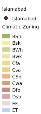
2.5. Climatological regionalization dataset of Pakistan#
Using Google Earth cloud platform, climate data is selected as the basic data. On the basis of this data, the Pakistan climate zoning data set with a resolution of 10m is obtained by cutting.
Legend:#
Information:#
Path : /pb1/gisws/qgis_pub_map/svr_w24/local/ch83_cpjrc/sec02_cpjrc/zhongba/pub05_cp_climate.qgz
Layer Name : pub_climate_qn5201
Layer ID : qn5201
Center : 0.0, 0.0
Zoom : 1
Powered by GISLite and Sphinx.