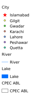
2.4. Pakistan’s water system dataset (2022)#
The Pakistan's water system dataset is made by using the water system distribution data downloaded from the DIVA-GIS official website. With the help of ArcGIS software, it can be sorted, cut and synthesized. The data set mainly includes the distribution of permanent rivers, lakes and urban points near the water system.
Legend:#
Information:#
Path : /pb1/gisws/qgis_pub_map/svr_w24/local/ch83_cpjrc/sec02_cpjrc/zhongba/pub04_cp_river.qgz
Layer Name : pub_river_qn1293
Layer ID : qn1293
Center : 30.805399, 68.731636
Zoom : 5
Powered by GISLite and Sphinx.