6.39. 2020 Eurasia Population Count Distribution Map#
Population Count, Estimates of human population count (number of persons per square kilometer) based on counts consistent with national censuses and population registers, for the year 2020. The data files were produced as global rasters at 30 arc-second (~1 km at the equator) resolution. Obtaining data from Eurasia through clipping. Coordinate system: WGS 84. Data source:https://sedac.ciesin.columbia.edu/data/set/gpw-v4-population-count-rev11
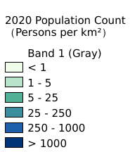
Legend:#
Information:#
Path : /pb1/gisws/qgis_pub_map/svr_w24/local/ch84_Eurasia/sec05_Population_Dynamics/2000_2020_Eurasia_population_count/pub_Eurasia_population_count.qgz
Layer Name : pub_2020_population_count_qn1863
Layer ID : qn1863
Center : 35.4625, 4.491511e-09
Zoom : 2
Powered by GISLite and Sphinx.